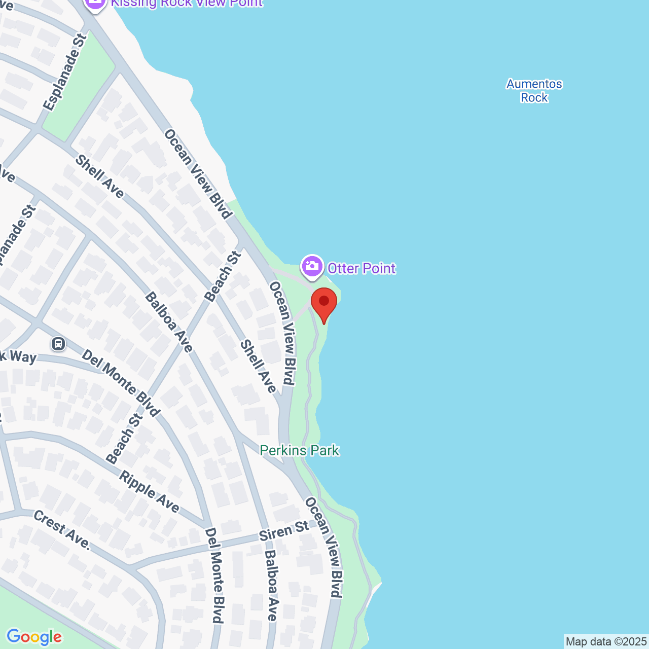
Perkins Park Walk, Pacific Grove

On a sunny day, it's blissful to walk the 1.2 mile hard-packed dirt clifftop path in Perkins Park from John Denver Beach to Lovers Point Park in Pacific Grove! You pass rounded rocks jutting to the sky, white-sand coves of aquamarine waters, cypress trees, flowers, and golden stone walls. Benches beckon you to stop a while and listen to the crashing waves. You may see sea lions or sea otters swimming by, birds perched on posts, and sailboats gliding past. Victorian houses in pastel colors line the other side of Ocean View Blvd, adding to the charm. In April, ice plant of the brightest purple carpets this area.
When you reach Lovers Point Park, there's a huge lawn with happy families lounging about. Brave souls take a dip in the water at the calm beach.
The dirt path now becomes a bike path, if you want to continue walking further, to Monterey Bay Aquarium and Cannery Row, the touristy waterfront area.
If you want to extend your walk 1.7 miles on the northern end, the dirt path, here called Asilomar Coastal Trail, continues all the way to Asilomar State Beach past rugged rocky shores.
A bird sits atop beautiful rounded rocks that jut up beside the path.
On the northern end, you can park along the road at 2 Asilomar Ave, or any of the many small parking lots off Ocean View Blvd, such as 1231 Ocean View Blvd.
On the southern end, you can park in the parking lot at Lovers Point Park, near 101 Forest Ave, Pacific Grove.
Last Updated: Fri, 05 Dec 2025 16:34:53 GMT
Text and Image copyright: © 2006-2025 LotsaFunMaps.com.
Copying prohibited. Contact the editor |
Facebook |
Pinterest |
Instagram
Blog |
The Official Mug |
Privacy Settings |
About Us