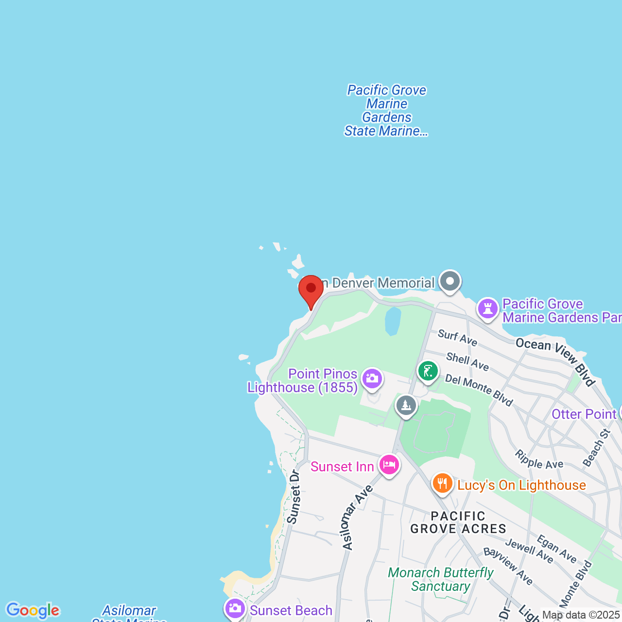
From John Denver Beach in the north you can follow the Asilomar Coastal Trail directly on the rocky coastline's edge all the way to Asilomar State Beach! It is a 1.7 mile decomposed granite (beautiful dark yellow) dirt trail interspersed with wooden boardwalks, popular with residents. Feel the brisk sea air against your cheeks and get your exercise! If you can come on a rare sunny day, it will be even prettier, with the sea in bright shades of blue. The path is beside the road, first Ocean View Blvd, then Sunset Drive. Take a rest at various magical coves of purest sand along the way, such as Sunset Beach. You can explore the tidepools and see big balls of kelp washed up.
This part of the coast is very foggy because it juts out into the ocean. It is even more foggy than Monterey town or Pacific Grove around Lovers Point Park.
This walk is beside rugged rocky shorelines, with open land across the street: dunes, golf course, scrubland, and a few drab 1950s houses. The intensely beautiful ice plant has been removed by zealots, and replaced with ugly stringy plants. In that way, it differs from the more scenic Perkins Park Walk, which connects to it in the north. The Perkins Park Walk is on high majestic clifftops over the sea, with charming Victorian houses lining the road across the street and stunning patches of springtime ice plant. Perkins Park Walk adds 1.2 miles of the same hard-packed dirt walking path, taking you to Lovers Point Park. From there you can add 1.1 miles with the paved bike path that leads to Monterey Bay Aquarium and Cannery Row.
Park at 2 Asilomar Ave, and head west along the roadside dirt walking path. You can also park at the parking lot at John Denver Beach, at 1231 Ocean View Blvd. There are many pullouts along Ocean View Blvd where you can park.
Last Updated: Fri, 05 Dec 2025 17:27:30 GMT
Text and Image copyright: © 2006-2025 LotsaFunMaps.com.
Copying prohibited. Contact the editor |
Facebook |
Pinterest |
Instagram
Blog |
The Official Mug |
Privacy Settings |
About Us